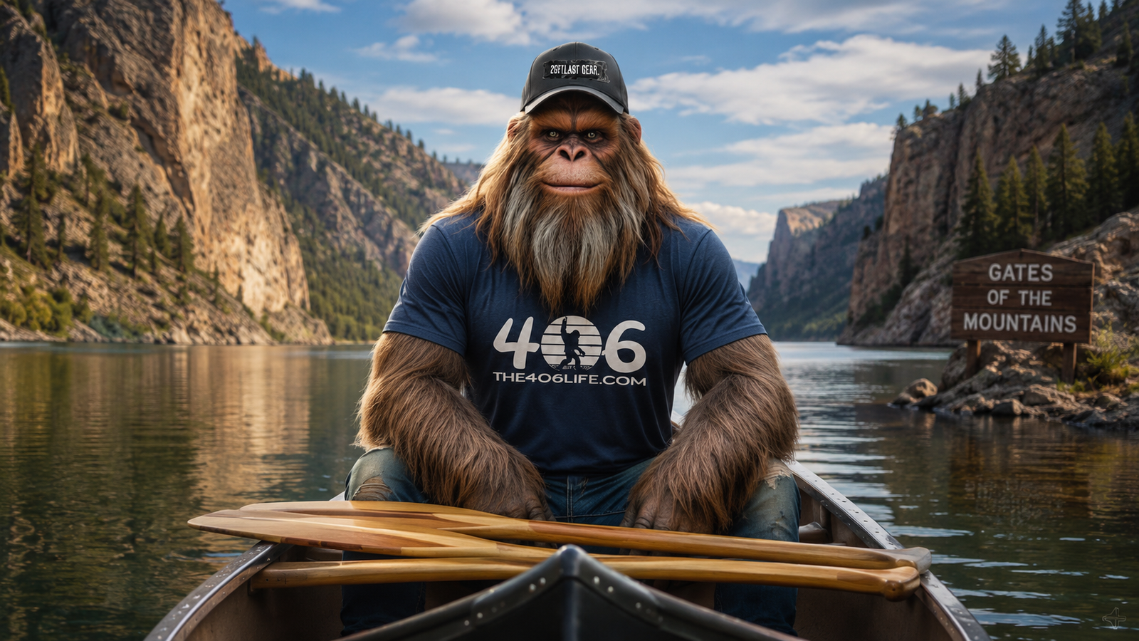
By Montana Max • Local Legand
Now I’ve tucked myself into a fair number of tight spots around this state. Ridgelines, river bends, the kind of places most folks never wander into. But there’s one stretch of the Missouri River north of Helena that even I give a little extra room. It’s called the Gates of the Mountains, and it earned that name the old-fashioned way.
These aren’t just pretty cliffs. These are 1,200-foot walls of limestone that drop straight into the river like the land itself decided to say “that’s far enough.” The canyon runs about five and a half miles, and for most of that, there isn’t a flat spot wide enough to rest a boot. Meriwether Lewis figured that out the hard way back in 1805, and folks have been coming to stare at these walls ever since.
If you’ve never been, here’s what you need to know before you go.
Where the Gates of the Mountains Are Located
The Gates of the Mountains sits about 17 to 20 miles north of Helena, Montana, carved into the northwestern edge of the Big Belt Mountains along the Missouri River. The full wilderness area covers 28,562 acres, managed by the Helena-Lewis and Clark National Forest. It’s the smallest designated wilderness in Montana, but don’t let that fool you. This place has got more history packed into it than most national parks twice its size.
The Rock That Built the Canyon
Those cliffs didn’t just show up overnight. What you’re looking at is limestone laid down 330 to 345 million years ago when a shallow tropical sea covered the middle of North America. Over time, the rock hardened. Mountains rose. And the Missouri River, already set in its course, just kept cutting downward rather than moving around the rising terrain.
Geologists call that an antecedent stream — a river stubborn enough to carve straight through solid rock rather than find an easier path. I respect that. That’s a Montana approach to a problem if I ever heard one.
“Now I’ve seen Lewis’s journal notes — he called the base of those cliffs ‘black grannite.’ Wasn’t granite. Was limestone. But given the shadows in that canyon, I’ll cut the man some slack. Those walls make everything look darker than it is.”
What Lewis and Clark Saw on July 19, 1805
The Corps of Discovery paddled into this canyon on the evening of July 19, 1805. By that point, the walls were already throwing shade across the river, and Lewis described the scene as having a “dark and gloomy aspect.” He was captivated enough to name it the Gates of the Rocky Mountains — one of only 17 place names the expedition gave in Montana that actually stuck around to today.
The passage wasn’t a leisurely float. The cliffs came down so steep and straight to the water that the men couldn’t pole or tow the boats from shore. They rowed through the entire five-mile stretch by hand. Lewis noted there wasn’t a spot except one or two in the whole canyon where a man could rest his feet on solid ground.
William Clark missed the whole thing. He was leading a scouting party overland, looking for the Shoshone. He came back with blistered feet and secondhand admiration. More information on the expedition’s journals can be explored at the Discover Lewis and Clark website.
Indigenous History Here Goes Back Thousands of Years
Long before Lewis and Clark paddled through, the Gates of the Mountains was a significant place for the Native peoples of the Northern Rockies. The Salish, Kootenai, Pend d’Oreille, and Blackfeet all traveled through this corridor — some for seasonal buffalo hunts, some for trade, some for reasons written in stone that we’re still trying to fully understand.
The Pictographs Near Mann Gulch
Near the mouth of Mann Gulch, red-pigmented drawings mark the canyon walls. Animals, human figures, tally marks — some of these paintings may be as old as 3,000 years, with the Salish adding to them as recently as the 19th century. These weren’t casual doodles. Cliffs near water held spiritual weight in Salish culture. The paintings are accessible only by water, which kept them hidden from most outsiders for a long time.
The canyon was also a contested corridor. As horses and firearms changed the balance of power in the 1700s, the Blackfeet pushed further into the region and the Salish and Kootenai shifted west. But this stretch of river stayed important to all of them.
For more on the contemporary status of these nations, visit the Confederated Salish and Kootenai Tribes and the Blackfeet Nation.
“I’ve watched fog lift off the Missouri on mornings so still you’d swear time forgot to move. Standing near those painted walls, you start to understand why folks believed something important was happening here. The place has weight to it.”
Mann Gulch and the 1949 Fire That Changed Everything
This is the part of the story that doesn’t get told enough at the trailhead. On August 5, 1949, a lightning-strike fire in Mann Gulch — one of the drainages inside the Gates of the Mountains — killed 13 firefighters and changed how the entire country thinks about wildfire.
What Happened That Day
A crew of 15 smokejumpers was dispatched to what looked like a manageable fire. By the time they landed, it had grown. Temperatures hit 100 degrees. The gulch was steep and narrow, shaped like a funnel. Winds shifted. The fire blew up and began moving upslope at 50 feet every 10 seconds — faster than a man can sprint up that grade.
Foreman Wag Dodge made a decision nobody on the crew had ever seen before. He lit a fire in the grass ahead of the main front, burning out a patch of ground, and told his men to lie down in the ashes. They didn’t understand what he was doing. Most kept running for the ridge. Dodge survived. Two others — Robert Sallee and Walter Rumsey — made it to a rocky crevice at the top just in time. The other 13 did not.
What Changed Because of It
Norman Maclean spent years reconstructing what happened in Mann Gulch. His book Young Men and Fire brought the story to a wider audience and raised hard questions about fire behavior prediction and crew communication. The disaster led directly to new training standards, the development of fire behavior research labs in Missoula, and the protocols that smokejumpers still follow today.
Detailed resources on the Mann Gulch fire and its legacy are available through the National Wildfire Coordinating Group (NWCG).
“I know that gulch. It’s quiet now — beautiful, even. The kind of quiet that makes you choose your words carefully. There’s a reason people still hike in there. Some places deserve to be remembered on foot.”
Gates of the Mountains Boat Tours
The most popular way to see the canyon is by water, and the tradition goes back further than most people realize. The first tour boat launched here in 1886. That’s 139 seasons of folks floating through those limestone walls, and the operation is still going strong.
The 2026 season kicks off May 23. Boats run roughly two-hour cruises through the canyon, with a stop at the Meriwether Picnic Area — which is only accessible by water. Guides cover the Lewis and Clark history, the geology, the Mann Gulch fire, and the wildlife you’re likely to see along the way.
- Adult tickets: $20 per person
- Season: Late May through mid-September
- Marina location: 20 miles north of Helena off Interstate 15
- Private docks and a public boat ramp also available
For current schedules and reservations, visit the official site at gatesofthemountains.com.
Hiking in the Gates of the Mountains Wilderness
If you want to get further in than the boat tour takes you, the wilderness has 53 miles of trails. Most of the trailhead access into the interior starts from the Meriwether Picnic Area, which means you’re taking the boat in first and hiking out from there.
Trails Worth Knowing
- Refrigerator Canyon (Trail 259): A 9.1-mile route through a narrow limestone gorge known for dramatic temperature drops. Good name. Earns it.
- Moors Mountain (Trail 260): Takes you up to the high point at 7,980 feet with panoramic views of the Helena Valley and the Bob Marshall Wilderness.
- Coulter Campground: Five boat-in sites, one mile south of the picnic area. Basic. Quiet. The kind of camping that reminds you why you came.
One honest warning: water is scarce in the backcountry, especially late summer. Willow, Moors, and Porcupine creeks are the reliable sources. Carry more than you think you’ll need.
Wildlife You Might See
The canyon and surrounding wilderness support a wide range of species. Mountain goats are frequently spotted on the limestone faces — particularly on the “Sleeping Giant” formation visible across the river from the main canyon. Bighorn sheep are in the area too, though their numbers have been lower in recent years due to disease pressure.
Along the water, keep an eye out for river otter, osprey, bald eagles, and American white pelican. Over 120 bird species have been identified in the canyon. And it’s worth knowing that grizzly bears have been returning to this part of the state. Bear spray is a good idea.
The Sleeping Giant Wilderness Study Area
Directly across the Missouri from the main wilderness sits the Sleeping Giant Wilderness Study Area — 6,666 acres managed by the Bureau of Land Management. The formation is visible from Helena and does, in fact, look like a figure lying on its back. The BLM recommended full wilderness designation back in 1991, and that process is still working its way through.
The area has seven miles of ridgeline trails and 40 boat-accessible campsites along Holter Lake. Lewis and Clark camped below this formation during their 1805 passage, which means you’d be sleeping on the same ground they did. Not a bad selling point.
Holter Dam and What’s Changed on the River
The Missouri you float through today is not the river Lewis and Clark rowed against. When Holter Dam went in downstream in 1918, it raised the water level 14 to 30 feet. Springs that Lewis noted bursting from the canyon walls are now underwater. The powerful current that wore out the Corps has been replaced by the flat, quiet water of the reservoir — which, honestly, is why the boat tours are possible at all.
The reservoir is also a solid fishery. Rainbow trout, brown trout, and walleye are the main draws. Beaver Creek, along the southern edge of the wilderness, serves as a spawning tributary and gets protected accordingly.
“I’ve watched the water level in those canyon walls long enough to know what’s down there. What Lewis described as ‘fine springs’ coming right out of the rock — those are still down there somewhere, just waiting for the reservoir to drop. Some history stays put even when the river moves on.”
Best Time to Visit the Gates of the Mountains
- Late May through June: Wildflowers peak in mid-June. Crowds are lighter early in the season.
- July and August: Peak boat tour season. Warm, busy, and best for hiking.
- September: Cooler temps, fewer people, and the canyon looks different in fall light. Worth considering.
Winter access is limited, and backcountry trails can be closed or unsafe after heavy snow. The 2007 Meriwether Fire burned about 20,000 acres of the wilderness, and trail maintenance in some drainages is still ongoing. Check current conditions with the Helena-Lewis and Clark National Forest before heading into the backcountry.
FAQ: Gates of the Mountains Montana
Where is the Gates of the Mountains located?About 17 to 20 miles north of Helena, Montana, along the Missouri River in the Big Belt Mountains. Take Interstate 15 north from Helena and follow the signs.
How do I get into the canyon?Most visitors take the boat tour from the Gates of the Mountains Marina. Backcountry hikers can also take the boat in to the Meriwether Picnic Area and access trails from there.
How long is the boat tour?Roughly two hours, including a stop at the Meriwether Picnic Area. Tours run late May through mid-September.
Is the Gates of the Mountains the same as Gates of the Mountains Wilderness?The canyon and the wilderness are connected but not the same. The wilderness area covers 28,562 acres in the surrounding Big Belt Mountains. The canyon itself is the dramatic five-mile gorge on the Missouri River.
What happened in Mann Gulch?On August 5, 1949, a wildfire killed 13 smokejumpers in Mann Gulch, a drainage inside the Gates of the Mountains. The tragedy led to major changes in wildfire training and fire behavior research. Norman Maclean wrote about it in Young Men and Fire.
Is there camping at the Gates of the Mountains?Yes. Coulter Campground has five boat-in sites near the Meriwether Picnic Area. The Sleeping Giant WSA across the river has 40 boat-accessible sites along Holter Lake. No camping at the marina.
Do I need bear spray in the Gates of the Mountains Wilderness?Strongly recommended. Grizzly bears have been returning to this area. Bear spray and proper food storage are good practice throughout the backcountry.
The Gates of the Mountains has been earning its name for a long time — long before Lewis named it, long before the smokejumpers, long before the first tour boat ever scraped through those limestone walls. It’s one of those places that doesn’t need much help from anybody to make an impression. It does the work itself.
If you’re passing through Helena and you’ve got two hours and twenty dollars, you already know what to do. And if you’ve got a few more days and a good pair of boots, the backcountry’s waiting.
Just bring your water. And your bear spray. And maybe tell someone where you’re going.
Wanna keep up with Montana Max and the wild ride that is The 406 Life? Follow us on Instagram for daily snapshots of Big Sky livin’, and join our Facebook crew—both the main page and the group—for local biz shoutouts, behind-the-scenes shenanigans, and real-deal Montana grit. Whether you’re scrollin’ from the mountains or missin’ ‘em from afar, we’ve got a seat ’round the digital campfire waitin’ for ya.
And don’t forget to roam through our blog, where Montana Max dishes out tales from the trail, cultural deep-dives, and a whole lotta backwoods wisdom.
Leave a Reply
You must be logged in to post a comment.